
QUANTITY SURVEYING
Quantity & Stockpile Analysis

HOW IT WORKS
Accurate stockpile volume measurements using drone-captured Point Cloud data.
Our aerial surveys generate detailed 3D models through photogrammetry, enabling precise volume calculations, remote inventory management, and site progress tracking—faster and safer than traditional methods.
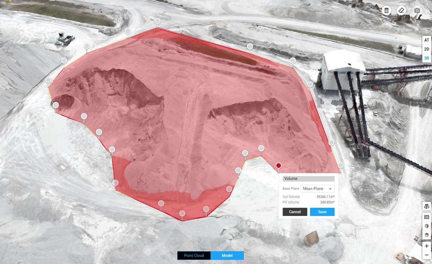
THE BENEFITS
Drones integrated with Artificial Intelligence (AI) are transforming stockpile analysis by automating measurement and tracking.
This advanced solution delivers faster, more accurate, and cost-effective inventory management compared to traditional manual methods—improving efficiency, reducing errors, and saving time on-site.
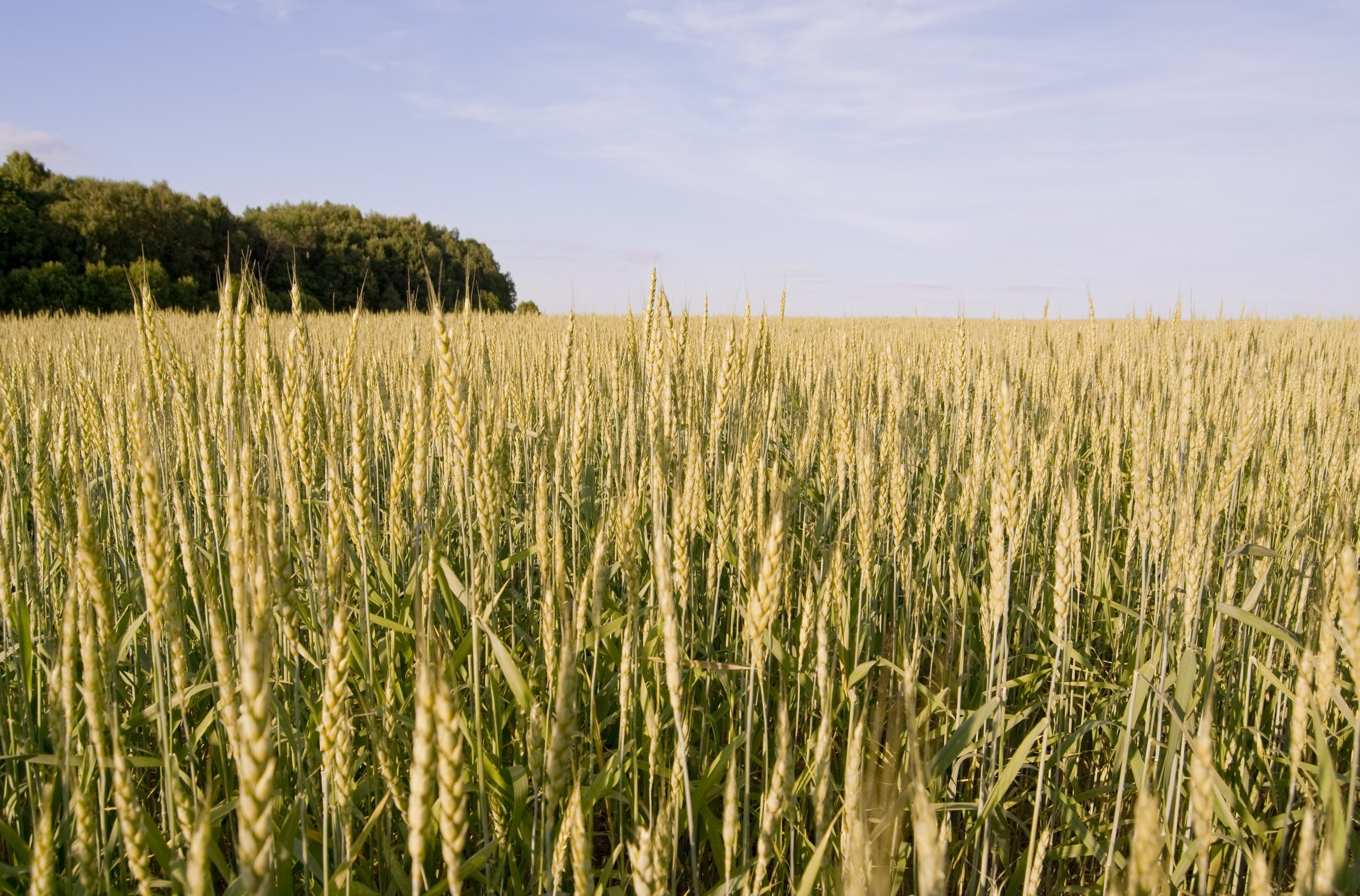
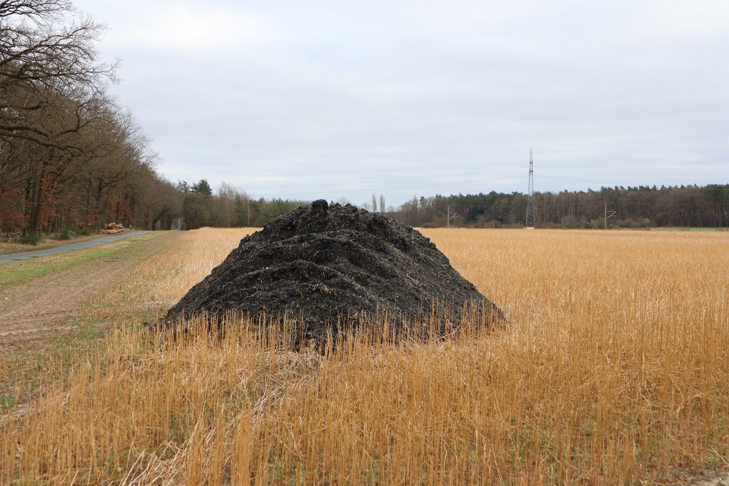
AGRICULTURAL STOCKPILE ANALYSIS
Monitor and manage your farm resources with precision. Drones provide fast, safe, and accurate volume analysis of silage, grain, fertiliser, and other stockpiles.
Using photogrammetry and 3D modeling, we deliver reliable data to help optimise storage, track usage, and reduce waste—improving operational efficiency across your agricultural operations.